
Trace an Anderson Street by Address
An Anderson street directory is most reliable when it follows a parcel. Begin with the Property Viewer’s Address search. It first finds an E911 address, lets the user select a match when needed, and then identifies the parcel. Record the physical address, TMS, deed reference, and plat or legal-description clues available in the selected detail. A road-name result is useful for locating a street segment, but it does not create a verified list of occupants. From the parcel, ACPASS or the Assessor can provide the property-record route, and the Register of Deeds can confirm the recorded instrument.
Use each step to obtain the next identifier, not to make a leap from an owner name to a household. A deed’s grantor and grantee identify parties to a property transaction. A property card can carry an owner mailing address, which may differ from the physical address. Historic directories can place a name at an address in a stated edition. Those are valuable, but different, Anderson street directory facts.
- Enter the known location in the County Property Viewer and select the E911 address-to-parcel match.
- Copy the TMS, physical address, deed reference, and legal or plat clues from the parcel detail when shown.
- Use ACPASS or Assessor assistance for the record card; ACPASS documents owner-last-name, taxmap, and street-name modes behind its account gate.
- Read or request the cited deed from the Register of Deeds and compare its legal description with the same parcel.
- For an earlier period, use the library’s dated directories, conveyance indexes, maps, and census routes without claiming an unverified reverse-directory run.
Anderson Property Viewer Fields
The County’s open Property Viewer and account-gated ACPASS complement each other. Viewer help confirms Road and Address searches, Advanced Search, Tax Map Grid and Subdivision bookmarks, Details, Zoom To, Clear, Adjoiners, and Buffer. A Property Viewer sample schema from a County-hosted document shows the kinds of parcel facts that may be populated: TMS, owner, owner mailing address, physical address, description, deed reference, sale price, sale year, previous owner, market value, tax district, current plat, improvements, and a property record card link. It is a schema example, not a guarantee for every record.
| Field or tool | Type | Documented behavior | Street-directory limit |
|---|---|---|---|
| Address | Text | Searches E911 addresses, then the parcel | May require selecting among matches |
| Road | Text | Finds road context | Not an occupant list |
| Market Value | Numeric | Advanced Search field without characters | No complete advanced list published |
| Subdivision | Bookmark selector | Autocomplete begins after three letters | Does not establish a household |
| ACPASS Owner Name | Text | Last name first | Account login observed |
Open the Property Viewer help before interpreting a result. The County warns that daily map data are not the official record.
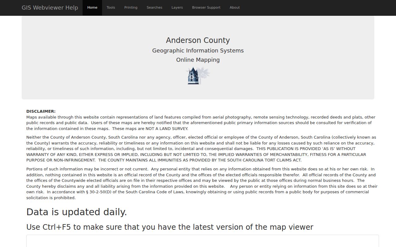
The published search instructions make it clear why an address must be tied to a parcel before deed or tax work begins.
Anderson Deeds by Legal Description
A street number alone is a weak way to follow a tract through time. After locating the parcel, obtain the cited instrument from the Anderson County Register of Deeds. Compare the property’s TMS, lot, plat, or legal description with the deed. To move backward, find the present seller as the prior grantee, compare the same legal description, and repeat. This is the grantor-grantee method. It avoids treating a similar surname or a changed address number as proof that two records concern the same land.
The current County landing page does not state the online index cutoff. Older work has real alternatives: the library identifies a conveyance index from 1790–1948, books from 1789–1901, and local Register of Mesne Conveyance holdings from 1790–1900. The South Carolina Collection also has onsite grantor/grantee microfilm indexes from 1790–1940. These historical routes are especially useful when an online account does not cover the relevant record era.
Anderson Permit Evidence by Street
Permit records add dates to an address trail. County Building and Codes publishes monthly permit PDFs with fields such as permit number, record type, date issued, proposed use, contractor, construction valuation, project address, and project TMS. A February 2026 list provides this address-to-tax-map crosswalk. It can show that documented work was issued for a location. It does not say who resided there or who owned the parcel at that time.
City addresses have a separate Building and Codes route through ViewPoint Cloud for permits, inspections, plan review, and ordinance workflow. The direct portal was inaccessible in the research, so a public search form and result fields are not verified. Use the published City landing page, counter, or a focused public-records request instead of inventing a name-search feature. City code material may identify an owner, agent, or contractor without identifying an occupant.
View the City Building and Codes page for its confirmed permit-system route and office contact.
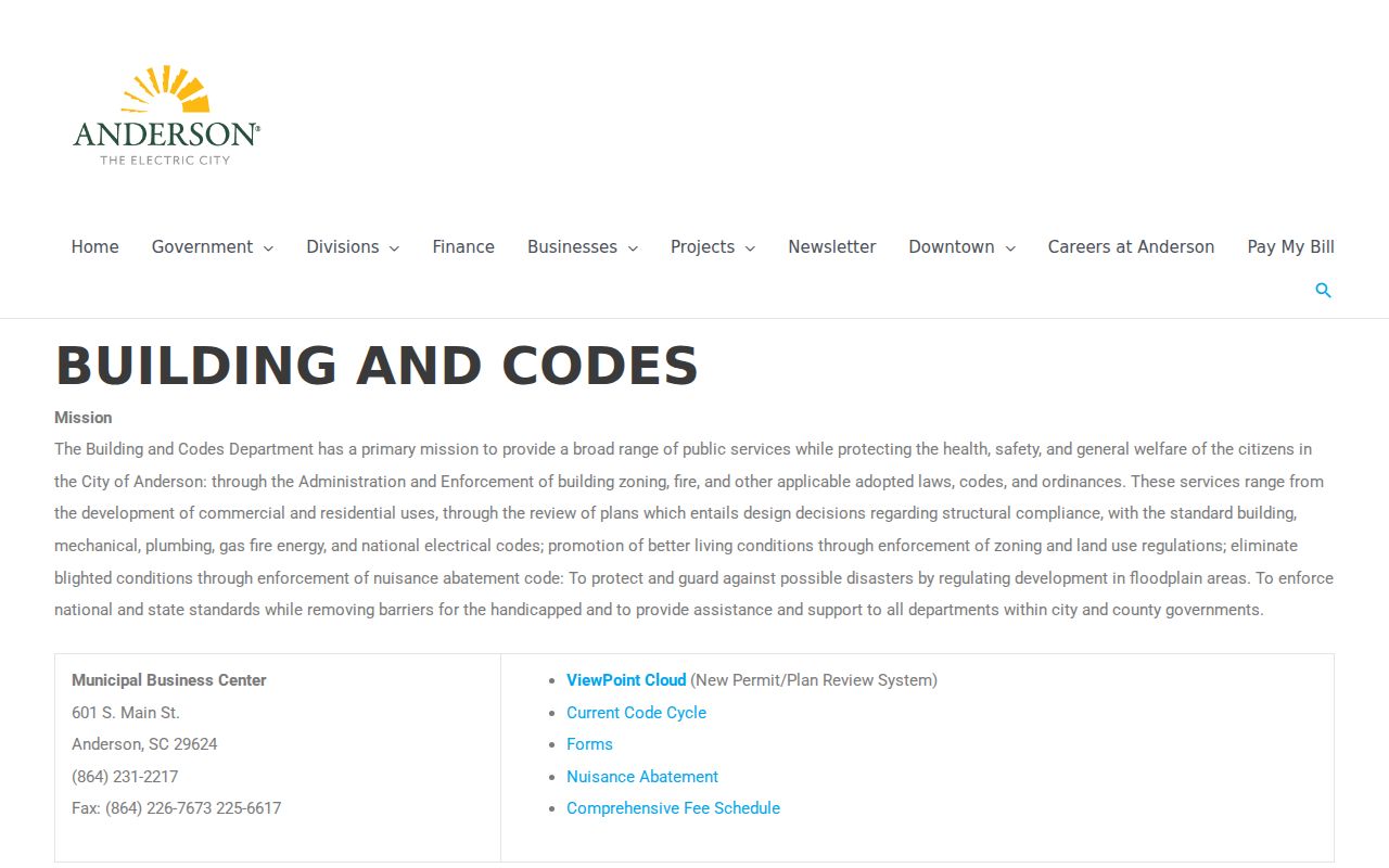
The City page is the verified entry point when the address lies inside its permit and code jurisdiction.
Anderson Street-Keyed Records
Street records work as a chain. The address leads to an E911 point, the point leads to a parcel and TMS, the TMS and legal description lead to a deed or property record, and dated permits add project context. The local directory shelf can help with earlier name-and-address research. Each row below is an address or property layer, not a promise that a public tool lists every neighbor or household member.
| Record Set | Keeper | What It Shows | Access |
|---|---|---|---|
| Property Viewer | County GIS/Assessor | E911 address, TMS, parcel geometry and selected details | Open map, daily update, nonofficial |
| ACPASS Real Property | County Assessor | Owner-name, taxmap, street search, tax district | Account gate observed |
| Recorded instruments | Register of Deeds | Parties, legal description, document reference | Office or land-record route |
| County permit PDFs | Building and Codes | Issued work, address, TMS, contractor, valuation | Open monthly lists |
| Historic directories | South Carolina Collection | Dated printed name-and-address clue | 1905–1960 collection; reverse index unverified |
A public voter self-lookup is not a street-search layer. MySCVotes requires County, name, date of birth, and last four digits of a Social Security number for personal verification. Election-record access must be requested from the proper custodian under its rules, not rebuilt by matching addresses.
Historic Anderson Street Clues
The South Carolina Collection’s Anderson City Directories cover 1905–1960, but the library does not confirm a separate reverse or criss-cross series that begins with an address. Use a known name or directory year, copy the exact printed spelling and address, then compare nearby years and released census records. The library’s historic routes also include conveyances, estate packets, tax books, maps, and newspapers. The Anderson city directory collection has the full shelf and access details.
Old addresses need care. Research did not verify a citywide street-renumbering year or a complete renamed-street table. Use the current E911 location as a modern key and compare TMS, plat, deed description, road, and adjoining parcels when an old number seems to have changed. Sanborn maps and City GIS historical comparison can test physical continuity, but the map edition date must be read from the original source.
- Parcel
- A tract represented by a tax-map number and legal description.
- Situs address
- The physical location used in the E911 and property system.
- Plat
- A recorded map that describes lots, boundaries, or subdivisions.
- Criss-cross directory
- An address-to-name format; its Anderson coverage is not confirmed.
Anderson Address Jurisdiction
Postal labels, County address assignment, and City permitting do not always use the same boundary. County GIS/E911 maintains street, address, and parcel information, while a City of Anderson address follows a separate City OpenGov and municipal permit path. For a city-limit question, check the County municipal-boundary layer after locating the address. For a delivery question, use USPS address lookup. A ZIP, map label, or planning-area name should not be used as a substitute for jurisdiction at the relevant date.
The division also affects fallback channels. County Building and Codes directs visitors to its OpenGov account-required portal and publishes monthly lists. City Building and Codes routes City work through ViewPoint Cloud and its counter. Both can be useful for an address, but neither is a residents directory. This local geography is why the owner, parcel, project, and physical-address fields must stay distinct.
Anderson Street Names and Maps
Historic street research needs a dated map as well as a current address tool. City GIS comparison material identifies map years for 1884, 1890, 1896, 1901, 1911, and 1918. The library also points researchers toward its map case, university, and Library of Congress Sanborn routes. Each source can show a street setting or building footprint at one stated date. Pair it with a plat, legal description, and deed reference before claiming that an older address is the same present parcel.
The South Carolina Genealogical Society’s Anderson Street Names Project says that more than 300 City streets were likely named for people and directs readers to Changed Street Names and Stories material at local institutions. It is a discovery tool, not proof that a particular name change applies to an address. Research did not verify a citywide renumbering year or a complete renamed-street table. That gap is important: an old street number should be tested through the record sequence rather than forced into a modern address.
Anderson Street Record Fallbacks
Online maps and account portals do not cover every street or era. The Assessor can assist with property-record questions, the Register of Deeds is the official recorded-instrument custodian, and the South Carolina Collection offers historical books, microfilm, and limited research requests. Its paid request route allows up to two record types, with a $5 charge per record search plus listed copying or postage costs. Give staff a name, address, year range, TMS, deed reference, or record type rather than asking for an open-ended search.
A county or City record outside an available portal can also be requested through a specific South Carolina FOIA request. The statute generally gives an agency 10 business days to decide a current-record request, or 20 for a record more than 24 months old, then 30 or 35 calendar days to produce it after approval. Exemptions and reasonable costs can apply. A focused request preserves the street, parcel, period, and custodian needed to make the response meaningful.
Anderson Street Search Limits
An Anderson street directory cannot disclose renters, every household member, utility customers, delivery records, driver-license addresses, or protected residents. A parcel owner and a mailing address have limited property-record meaning. They do not prove that the owner lives there or that someone at the physical address is the owner. MySCVotes is authenticated self-service, not a public street browse. Court and vital files can also be sealed, restricted, or available only through a defined request process.
The South Carolina Address Confidentiality Program can supply a substitute address for eligible participants, and defined redaction procedures can remove sensitive numbers from record images. Missing data may be an intentional privacy boundary. Resolve an apparent map or record mismatch with the Assessor, Register, Clerk, or another actual custodian. Do not contact or publish information about a person merely because an address-linked record exists.
Lawful use. Use Anderson street records for personal, family, estate, property, civic, or safety questions only. Stalking, harassment, intimidation, and unwanted surveillance are prohibited under South Carolina law.