
Anderson Previous Residents by Era
An Anderson address history is an era map, not one master index of everyone who lived there. Current parcel tools establish the place. Conveyance material establishes a title trail. Directories and census records can provide household clues for their own dates. Tax books, probate packets, Sanborn maps, and permits add separate layers. The table identifies the documented dates and access channels, including the limits that prevent any row from being used as a complete list of previous residents.
| Source | Years It Covers | Where Held | What It Shows |
|---|---|---|---|
| Anderson Property Viewer / ACPASS | Current Anderson map and daily updates; historic start not stated. | Anderson County GIS and Assessor. | Anderson TMS, physical address, map context, and a prior-deed clue when populated. |
| Conveyance books | 1789–1901; local Register series 1790–1900. | FamilySearch, Library, and Archives routes. | Legal description, parties, and lot or plat connection. |
| Conveyance index | 1790–1948. | Library-described FamilySearch and historic channels. | Grantor and grantee navigation through the chain. |
| Anderson city directories | 1905–1960. | South Carolina Collection; some HeritageQuest and USC access. | Dated name and address clues; a reverse run is not verified. |
| Federal census | 1790–1950 released. | HeritageQuest, in-library Ancestry, and FamilySearch. | Household and neighborhood context, not a current-address guarantee. |
| Tax books, probate, Sanborn, permits | Tax books 1871–1900; probate packets have dated series; maps and monthly permits vary. | Anderson Library, Anderson Probate Court, map case, and County Building & Codes. | Anderson property associations, estate context, structure setting, or dated work. |
The right Anderson opening source depends on the date. Use an Anderson current parcel record for a present street address, historic conveyance material for an Anderson transfer, and library material for an Anderson household question. Note: Sanborn and permit records date a structure or alteration, not a person living at the address.
Anderson Address Starts With TMS
Begin an Anderson trail in the County Property Viewer, not with a repeated street-number search. Its Address mode first checks E911 address points and then searches the parcel on which the selected address lies. Capture the tax-map number, often called TMS, physical address, deed reference, and legal description where available. The selected record may also show a previous owner or sale detail, but those fields are a starting lead, not a substitute for reading the instrument.
The Anderson Assessor instructs users to enter ACPASS, choose Real Property and Property Search, then use Owner Name with the last name first, Taxmap, or Street Name. The portal was observed behind registration, so its post-login controls and historic coverage cannot be assumed. The Anderson map is daily updated and useful for location, but the county says official records remain with the responsible office. That makes the Anderson TMS and legal description the anchors for a deed inquiry, not proof that the current map alone resolves the past.
Anderson physical and mailing addresses can diverge. An Anderson mailing field gives a communication address in a record; it does not prove that a person was at the physical site. The lot, plat, metes-and-bounds language, and TMS are more durable identifiers when an Anderson road, parcel line, or street number changes.
Anderson Deed Chain Backward
The Anderson deed chain moves through parties, references, and the same legal description. The Anderson Register of Deeds records and indexes ownership instruments, but its county landing page does not publish the present online cutoff or live search-field list. Start with the current Anderson deed reference from the parcel record. Read or request that instrument, identify its grantor, grantee, recording reference, and legal description, then locate the seller's earlier purchase as a grantee. Each link needs the same tract or lot evidence before it becomes part of the chain.
- Use the E911 address to select the Anderson parcel and record its TMS, current deed reference, and legal description.
- Ask the Anderson County Register of Deeds for the cited instrument or use the county-endorsed access route when the needed record is available there.
- Read the current deed and record the named buyer, seller, recording reference, and parcel description.
- Search the seller as a grantee to find the earlier purchase, then compare the description, lot, plat, and TMS rather than relying on the street number.
- Repeat the party-to-party process until the relevant era reaches the historic index or book route.
- Grantor and grantee
- The grantor transfers an interest. The grantee receives it. In a backward search, a prior seller is often found as the buyer in an earlier instrument.
- Chain of title
- The sequence of recorded transfers for the same legally described tract. It is not a list of all past households.
- Legal description
- The lot, plat, metes-and-bounds, or other deed language that identifies land more reliably than a street number alone.
Anderson Historic Deed Bridge
When the desired Anderson transfer falls outside the current online path, use the date-bounded historic sources. The South Carolina Collection identifies a conveyance index from 1790 through 1948, while FamilySearch books cover 1789 through 1901. The library's Register of Mesne Conveyance material spans 1790 through 1900, and its onsite grantor-grantee microfilm indexes reach 1790 through 1940. These overlaps are a practical bridge because the current Register landing page does not state an online cutoff.
The county-endorsed Anderson ROD Online Services entrance leads into the current Anderson land-record access path, where account access governs what can be searched and viewed.
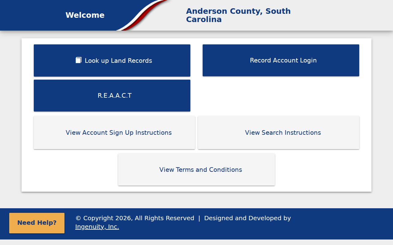
The entrance screen is a useful handoff for later instruments, while the library, Archives, and FamilySearch routes cover the historic date ranges named above.
Anderson County was formed from Pendleton District in 1826. For an earlier document, search under the appropriate historical custody name rather than treating an absent Anderson County label as proof that no record exists.
Anderson Past Household Pairing
For people rather than title, pair Anderson city directory years with the nearest released federal census. The Library's South Carolina Collection holds Anderson City Directories for 1905–1960. Books are available there, some material is remote through HeritageQuest with a library card, and a few editions have University of South Carolina digitizations. Transcribe the exact printed name, initials, address, and year, then compare nearby editions before matching the period to the census household. A changed address is a lead, not final proof of a move.
Historic city directories are not a verified Anderson reverse or criss-cross directory. The Anderson library confirms the ordinary directory run but does not identify a separate address-to-name series. Ask Anderson South Carolina Collection staff or search its catalog before claiming an address was indexed backward. The collections themselves are described on the Anderson city directory page; use them here as dated household clues beside the title trail.
The Anderson County Library System South Carolina Collection identifies the local materials, access routes, and research-request options for a focused historical question.

The library screen connects the directory and genealogy shelf with the conveyance, census, probate, tax, map, and newspaper sources used to test an Anderson address history.
- Choose a directory year closest to the Anderson address question and copy the entry exactly as printed.
- Check the preceding and following edition for an address, initial, or name change.
- Use the nearest released census for household, age, birthplace, relationship, and geographic context.
- Compare the result with the parcel's deed description and record the date limits of each source.
Anderson Address Continuity Checks
An old Anderson number does not automatically point to a present parcel. No official source reviewed identified a citywide street-renumbering year or a complete renamed-street table. Use the current E911 address as the location key, then bridge older material with TMS, legal description, plat, block and lot, road name, and adjacent parcels. The County Atlas Map Book adds road names, community and ZIP context within a half mile, but it is still a reference rather than a title record.
Check Anderson continuity with a dated Sanborn sheet, plat, and deed before equating a historic address with a current one. The Anderson South Carolina Collection has black-and-white Sanborn maps in its map case and links the South Caroliniana Library and Library of Congress routes. Its web page does not list Anderson publication years, so read the date on the actual map before using it. Note: A matching street name alone is weaker evidence than the same lot or legal description across dated sources.
Anderson Permit and Map Dates
Maps and permits date the built place around an Anderson address. City GIS provides historic-map comparisons for 1884, 1890, 1896, 1901, 1911, and 1918. A sheet can show a structure footprint and street setting for its own date, then must be compared with the tract description and recorded instruments. County monthly permit PDFs are the modern layer. The January 2026 residential list contains 124 entries and publishes fields such as date issued, project address, TMS, contractor, and valuation.
Those Anderson facts can establish that work was documented at an Anderson address. They do not identify a past household. Anderson City Building and Codes routes permits and inspection work through ViewPoint Cloud, but its directly inspected interface did not expose a confirmed public results screen. For an Anderson City record, use the published department route or a focused South Carolina FOIA request rather than inventing a name or address search feature.
Anderson Previous Residents Endpoints
Past residents can disappear from a directory because of a move, a death, an estate transfer, or a gap in the surviving source. Anderson's South Carolina Collection points to obituary and newspaper routes, while official DPH channels handle death certifications and indexes under their access rules. Probate records can add estate administration, property disposition, or heir context. For identified historic estate packets, the library lists 1790–1868 packets 1–3210 and approximately 1876–1915 packets 3216–6466; later files are at Probate Court. Do not silently bridge the numerical and date gap between those stated packet ranges.
The City Cemetery office is another narrow alternative when a specific person and period are known. City historical material describes interment books with a burial name, location, and date, but no online interment search was verified. An obituary can point to a date or relationship, yet the deed or custodial estate record remains the better source for a title conclusion. This careful endpoint protects the distinction between an Anderson past household clue and a documented transfer.